
Uncrewed Aircraft Services
The North Australia Centre for Autonomous Systems has considerable expertise in piloting multi-rotor and fixed wing uncrewed autonomous aircraft, undertaking survey work and processing the spatial imagery. As well as gaining flight area approvals for controlled airspace and activities outside of the excluded categories.
We provide an 'end to end' acquisition services/surveys, as well as information and training to assist ranger groups, industries and business located across the north of Australia to utilise the benefits of uncrewed autonomous aircraft.

Photogrammetry
This includes 3D models, landscapes, environment, PV cells.

Thermal Infrared Survey
Building assessment, wildlife or human detection.

Vegetation or Crop Survey
Visual or multi-spectral.

Aerial Photography
This includes 3D models, landscapes, environment, PV cells.
Volume Assessment
Building assessment, wildlife or human detection.

Drone Delivery or Transport of Items
Pricing
A formal quote and further information should be sought by contacting RPAS@cdu.edu.au.
Additional fees will be required for flights that occur in restricted areas and require flight approval (such as within 3NM or 5.5km of Darwin Airport), and for flight areas that will require the team to travel outside of the Darwin-Palmerston metropolitan area.
All services includes the flight planning, pilots, equipment, data collection, processing, and delivery of final imagery.
For more information and to get a quote, please email the team at RPAS@cdu.edu.au.
Our fleet
-
![]()
DJI Matrice 210 V2
-
![]()
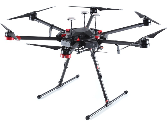
DJI Matrice 600 Pro
-
![]()
DJI Mavic 2 Zoom
-
![]()
eBee X
-
![]()
DJI Mini 3 Pro
-
![]()
DJI Phantom 4 Multispectral
-
![]()
DJI Phantom 4 Pro